|
|
|
|
March 7, 2017 GoMRI eNews
|
|
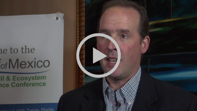
The Gulf of Mexico Research Initiative is pleased to announce the release of the Screenscope film production company’s trailer for “Dispatches from the Gulf-2.”
|
|
|
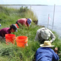
Scientists conducted a meta-analysis on marsh periwinkle snails using data spanning five years to investigate how the oil spill affected them over time. The researchers found that snails from heavily-oiled sites exhibited decreased density and shell length.
|
|
|
The Gulf of Mexico Research Initiative (GoMRI) is pleased to announce a new Sea Grant informational brochure that explores basic aspects of oil as a natural resource and oil spills. The Sea Grant Oil Spill Outreach Team synthesizes peer-reviewed science for a broad range of general audiences, particularly those who live and work across the Gulf Coast.
|
|
|
Polycyclic aromatic hydrocarbons (PAHs) can disrupt important signaling pathways that transcribe genes during fish’s early embryonic development, which could cause malformations.
|
|
|
Posted on March 7, 2016
Juan Pinales is working on a computational modelling system that will aid oil spill monitoring efforts. He combines Synthetic Aperture Radar (SAR) data and oceanographic conditions recorded during the Deepwater Horizon incident to improve surface oil detection using a semi-automated machine learning method known as artificial neural networking.
|
|
|
Posted on March 3, 2015
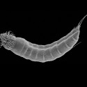
Scientists from Troy University and the University of Copenhagen, who are studying potential oil spill impacts on seafloor-dwelling marine life, examined microscopic invertebrates that live in the sediment (meiofauna).
|
|
|
Posted on March 6, 2014
The Smithsonian Ocean Portal posted a story on the GoMRI-funded CARTHE project, a multi-year research effort to study how the ocean moves.
|
|
|
Study Finds Mucus-Producing Jellyfish have Potential to Enhance Oil Biodegradation
Can gelatinous zooplankton influence the fate of crude oil in marine environments? Gemmell, B.J.; Bacosa, H.P.; Liu, Z.; Buskey, E.J. Marine Pollution Bulletin, Volume 113, Issues 1–2, 15 December 2016, Pages 483–487
Study Suggests 1-2 Years Recovery for Benthic Foraminifera following Deepwater Horizon
Characterizing the variability of benthic foraminifera in the northeastern Gulf of Mexico following the Deepwater Horizon event (2010-2012). P. T. Schwing, B. J. O’Malley, I. C. Romero, M. Martínez-Colón, D. W. Hastings, M. A. Glabach, E. M. Hladky, A. Greco, D. J. Hollander. Environmental Science Pollution Research, (2016). doi:10.1007/s11356-016-7996-z
|
|
Inventory of Gulf oceanic fauna data including species, weight, and measurements. Cruises DP01 May 1-8, 2015 and DP02 August 9-21, 2015 R/V on the Point Sur in the Northern Gulf of Mexico -- data link
Full carbonate chemistry and oceanography data in the immediate vicinity of Lophelia habitats in the Gulf of Mexico, November 21, 2012 (R/V Falkor: FK006b-leg2) to July 3, 2013 (E/V Nautilus: NA028) -- data link
Dataset for: Five year of Deepwater Horizon oil spill effects on marsh periwinkles Littoraria irrorata -- data link
|
|
|
GoMRI RFP-V: Toxicological Properties of Aromatic Hydrocarbons from Deepwater Horizon Spill (Miller)
Project is lead by P.I. Charles Miller, Tulane University.
|
|
|
ACER Tool Talk Series Highlights SCAT Maps
A Shoreline Cleanup and Assessment Technique (SCAT) map indicates the degree of oiling at a geographic location. SCAT teams survey shorelines to collect important data that will help them analyze the amount of necessary cleanup, choose cleanup techniques, and monitor clean up effectiveness.
CARTHE and RECOVER Host Boy Scout Troup
A group of Boy Scouts recently visited the University of Miami’s Rosenstiel School of Marine & Atmospheric Science to complete their oceanography badge. The boys met with members of the CARTHE and RECOVER teams and visited the SUSTAIN Laboratory’s wind wave tank. Photos from the visit are available here and here!
Meet CWC Researcher Ramesh Shrestha
Shrestha is the Director of the National Science Foundation’s National Center for Airborne Laser Mapping (NCALM) and is a mapping geodesist with CWC. His work reflects NCALM’s mission to provide research quality data and to develop new complementary technologies and much-needed education in Geosensing technologies.
DROPPS Participates in UTMSI’s Women in Marine Science Day
Team members recently taught 8 th grade girls about plankton and how dispersed oil affects them for the University of Texas Marine Science Institute’s Women in Marine Science Day event. They projected live plankton on a screen to demonstrate how they move and then guided the girls in making their own plankton and discussing how they would fare in dispersed and undispersed oil. See photos from the event here!
|
|
|
|
|
|
|